Daily coverage from across the country, written for the expat community
Results for “landslides”Clear
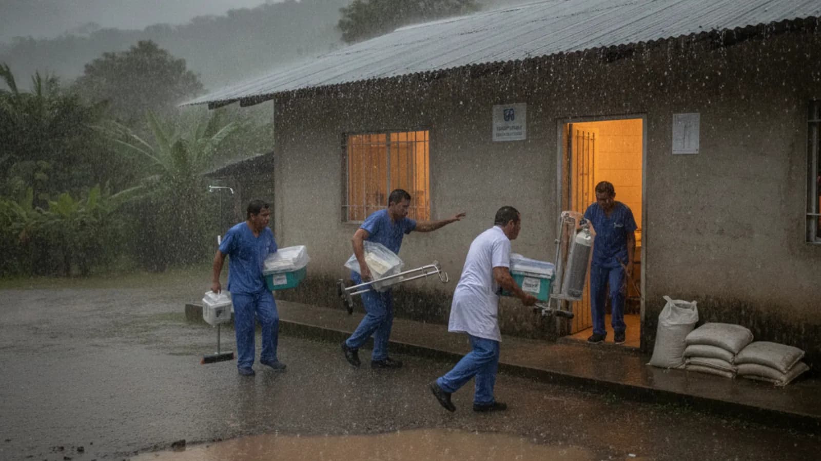
At least 460 hospitals and health centers are located in Ecuador parishes under yellow alert for El Nino. Most are small health centers, and the risk list is concentrated heavily in Manabi and Guayas.
Manabí remains under yellow alert as authorities prepare for possible El Niño impacts. Risk work is focused on river basins, rural flood zones, unstable slopes and historically affected cantons including Chone, Portoviejo, Rocafuerte, Sucre, Santa Ana, Montecristi and Jipijapa.
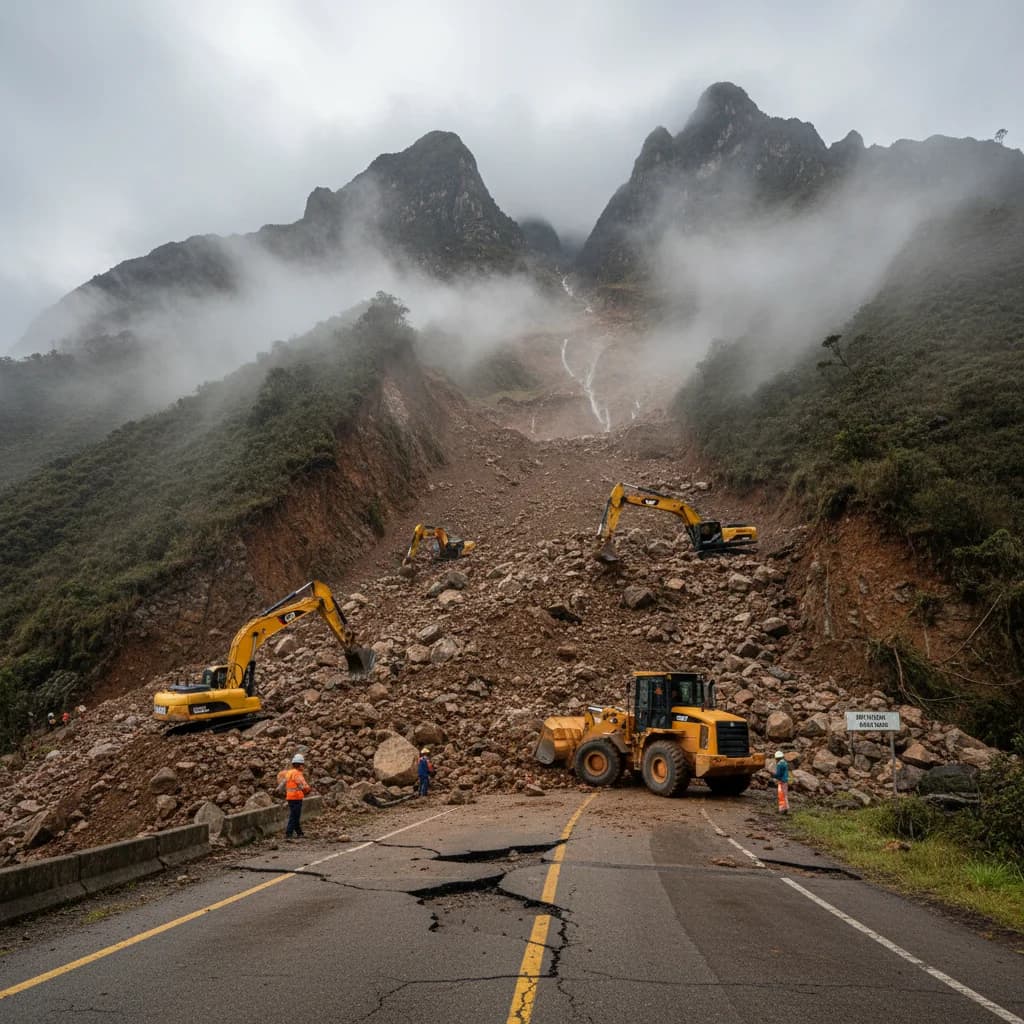
The Infrastructure and Transport Ministry announced an emergency declaration for the Cuenca-Giron-Pasaje road after landslides closed the section between kilometer 76 and 105. Authorities estimate about 200,000 cubic meters of material on the roadway.
Quito remains under a rain and storm alert from 17:00 on June 7 until 10:00 on June 10. Municipal monitoring is focused on areas at risk of flooding and landslides, including sectors in Calderon, Quitumbe, Tumbaco and Los Chillos.
Primicias reports INAMHI meteorological warning 41 forecasts high-intensity rain from the afternoon of June 2 through June 5. The Amazon, north Coast and northern Sierra are the main areas to watch.
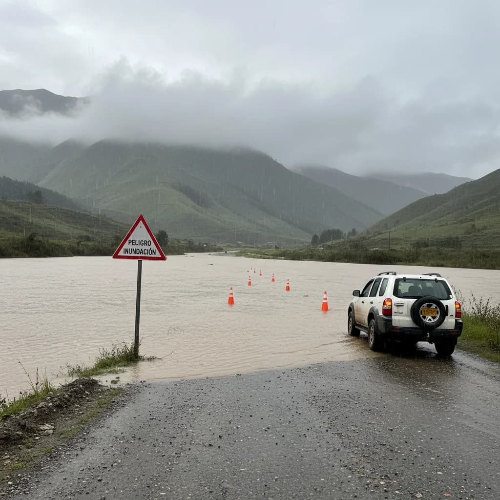
Ecuador's weather service flagged moderate-to-heavy rain, electrical storms, strong wind gusts and flooding risk from 4:00 p.m. May 17 until noon May 20, spanning coastal, highland and Amazon provinces. Here's who's affected and what to do.
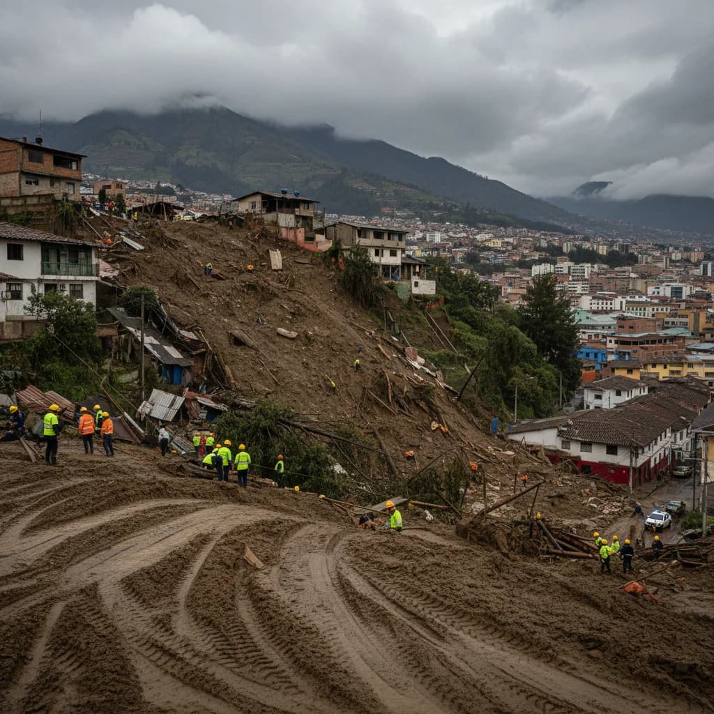
A mass movement struck the Nueva Aurora neighborhood in southern Quito on May 3. No injuries reported yet, but authorities say the area remains at risk and are urging residents to avoid unstable zones.
A Sunday afternoon hailstorm dumped 40+ cm of ice on Ecuador's northernmost city. Neighborhoods across southern Tulcán flooded, two landslides closed the E-35 highway, and emergency crews are still clearing damage.
Ecuador's main Quito-to-coast corridor was closed Monday after a drainage structure collapsed at kilometer 83 of the Alóag-Santo Domingo highway. Expreso reports the closure at km 87; Teleamazonas places it at km 89. No official reopening time yet. Here's what you need to know if you're traveling this week.
A Primicias investigation published April 13 found 82 stretches of Ecuador's state highway network have been in 'permanent poor condition' for at least three years. Sucumbíos and Imbabura top the list by distance. Zamora leads by percentage — 95% of its state network is in poor shape.
Ecuador declared a 60-day national emergency on March 12 after relentless rains caused flooding, landslides, and infrastructure damage across the country. At least 11 people have died, 22 rivers have overflowed, and 19 bridges have collapsed since January.
Cuenca has become the third Ecuadorian city to adopt a formal climate action plan, covering electric bus deployment and water source protection. Bloomberg Philanthropies has awarded the city $150,000 for youth-led environmental projects as Cuenca enters 2026 under a dramatically different hydrological reality.